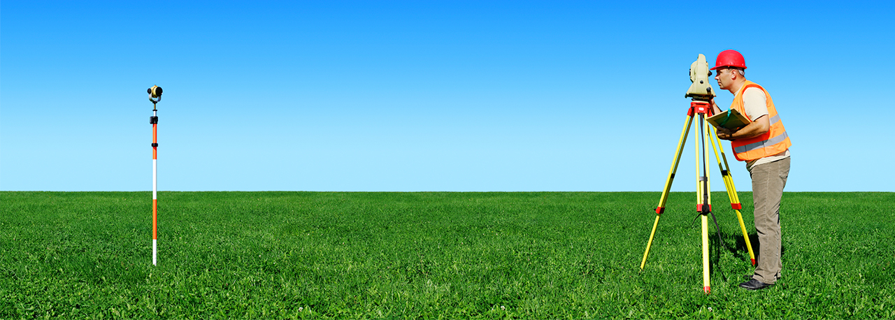
Topographical Survey

Topographic Surveys are used to identify and map the contours of the ground and existing features on the surface of the earth or slightly above or below the earth's surface (i.e. trees, buildings, streets, walkways, manholes, utility poles, retaining walls, etc.). If the purpose of the survey is to serve as a base map for the design of a residence or building of some type, or design a road or driveway, it may be necessary to show perimeter boundary lines and the lines of easements on or crossing the property being surveyed, in order for a designer to accurately show zoning and other agency required setbacks.
Topographic surveys, may be required as part of real estate transactions, civil engineering design and construction projects, including:
- Road or bridge design or improvements
- Grading or drainage projects
- New construction
- Remodeling projects to existing structures
- Utility design
Topographical land surveys or geomatics, as it is becoming known, are carried out with the use of the latest Leica Instrumentation linked to full keyboard data logging equipment for fast and accurate data collection. All of our instruments have the facility of remote surveying with the use of a non contact laser for those hard to reach places.
We generally encourage our clients (or their advisors) to provide us with a survey specification of some sort as this ensures that all the required data is gathered and presented in a format that is instantly useful to them. Once we have provided a topographic survey for a client once, we can set up a template for that client so that subsequent surveys are similarly formatted and presented.
We Deccan Survey Solutions use a combination of high precision GPS, Total Station and Laser Scanning to undertake topographic surveys. Survey information is processed through dedicated mapping software to produce the required outputs. Drawings can be supplied in any coordinate system and multiple scales depending on the site conditions and client requirements.
Ask for a similar project
